The Value Chain Behind Earth Observation

.png)
Subscribe to newsletters and press releases
Authors
Author

Around 1.81 trillion photos are taken worldwide every year, which equals 5.0 billion per day. By 2030, estimates indicate that around 2.3 trillion photos will be taken every year. The average user has around 2,100 photos on the smartphone in 2023. Take a look at your phone now: how many images do you have?
Photos are nothing but pictorial samples we take of the constantly changing world around us to either keep a trace of significant situations for ourselves or others, or to understand it better at the micro and macro level.
But let’s stop for a moment to think about the timeline, the necessary sequence of steps between the moment we open the shutter of a camera and the moment that a photo is interpreted and enjoyed by an end consumer. Photos are represented as digital bitstreams that result from converting photons reflected in a scene into electrical signals using special photosensitive devices. These digital representations are encoded in an array of bytes stored in specific formats, which may include post-processing such as compression or filtering. Needless to say, every photo needs storage. Moreover, if we want to share a photo with friends or relatives, we must transmit these bitstreams through a variety of networks and layers until the two-dimensional representation of the encoded data will be displayed in a screen which will emit photons impacting the retina of a receiver, whose brain1 will decode it into an image of a cute dog, a succulent breakfast, or an MRI of an injured knee. Something should be clear by now: observing the world in images needs a value chain in place, and any missing link in that chain will bring the overall value down to practically zero: imaging devices without storage, processing or networking capabilities are of very little use.
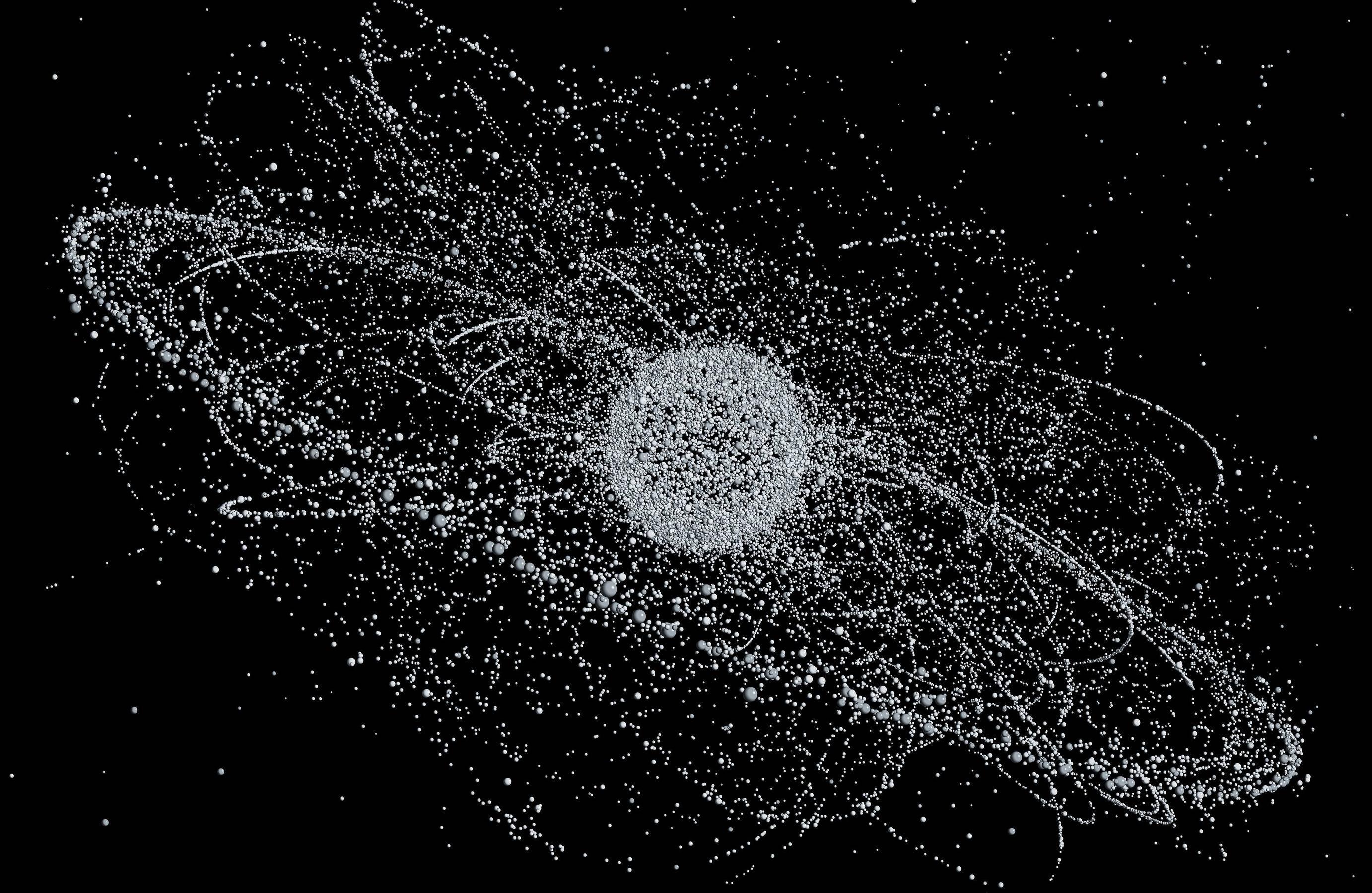
Satellites are no different. At the fundamental level, satellites are flying cameras we conveniently place in orbit to periodically sample our planet from a distance to understand more about its social, physical, chemical, and biological systems using remote sensing technologies which involve imaging devices sensitive to certain portions of the electromagnetic spectrum. Just as with smartphones, a satellite without storage, processing or the required data links and transport capabilities to convey the bitstreams to the end consumers are as useful as a flying rock. Currently, earth observation satellites must deal with data bottlenecks which result from congested ground stations due to increasingly more crowded orbits. Such bottlenecks cause satellites to accumulate data on-board that no one can consume, and that translates into revenue loss. The value of geospatial image collections decreases with time; there is little value in responding to satellite imagery depicting illegal fishing activity taken several days ago.
The current value chain of earth observation is under heavy stress, with constellations generating data at a faster pace compared to what the legacy space networks can handle.
ReOrbit is able to turn the tables, as we design and manufacture satellites to ensure the integrity of the end-to-end value chain between remote sensing payloads and the end consumers. ReOrbit achieves this by equipping the satellites with the necessary autonomy, storage, optical links, and data transport capabilities to ensure secure, seamless data transfer from satellite to satellite, or satellite to ground.
1 The end receiver could also be an algorithm ready to automatically extract features from the image